Drone-powered monitoring, mapping, and media for construction, real estate, industry, and emergency response. Reliable data. Clear results.


Precision drone data and media for construction, real estate, and industrial projects. Dependable documentation, mapping, and emergency response solutions trusted by professionals.
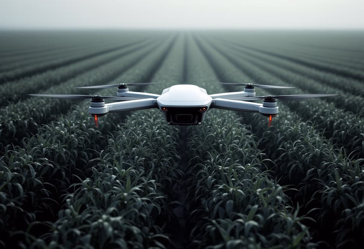
Unlock actionable data with advanced drone technology for construction, real estate, and industrial projects.
Monitor site progress with precise aerial visuals.

Produce detailed maps and surveys for any property.
![[team]](https://cdn.prod.website-files.com/6a3d5bbd72322e1da05e79a4/6a4283c47cb244d81d333471_437d4d9d-c1de-4992-9d7b-e49e822ece5b.avif)
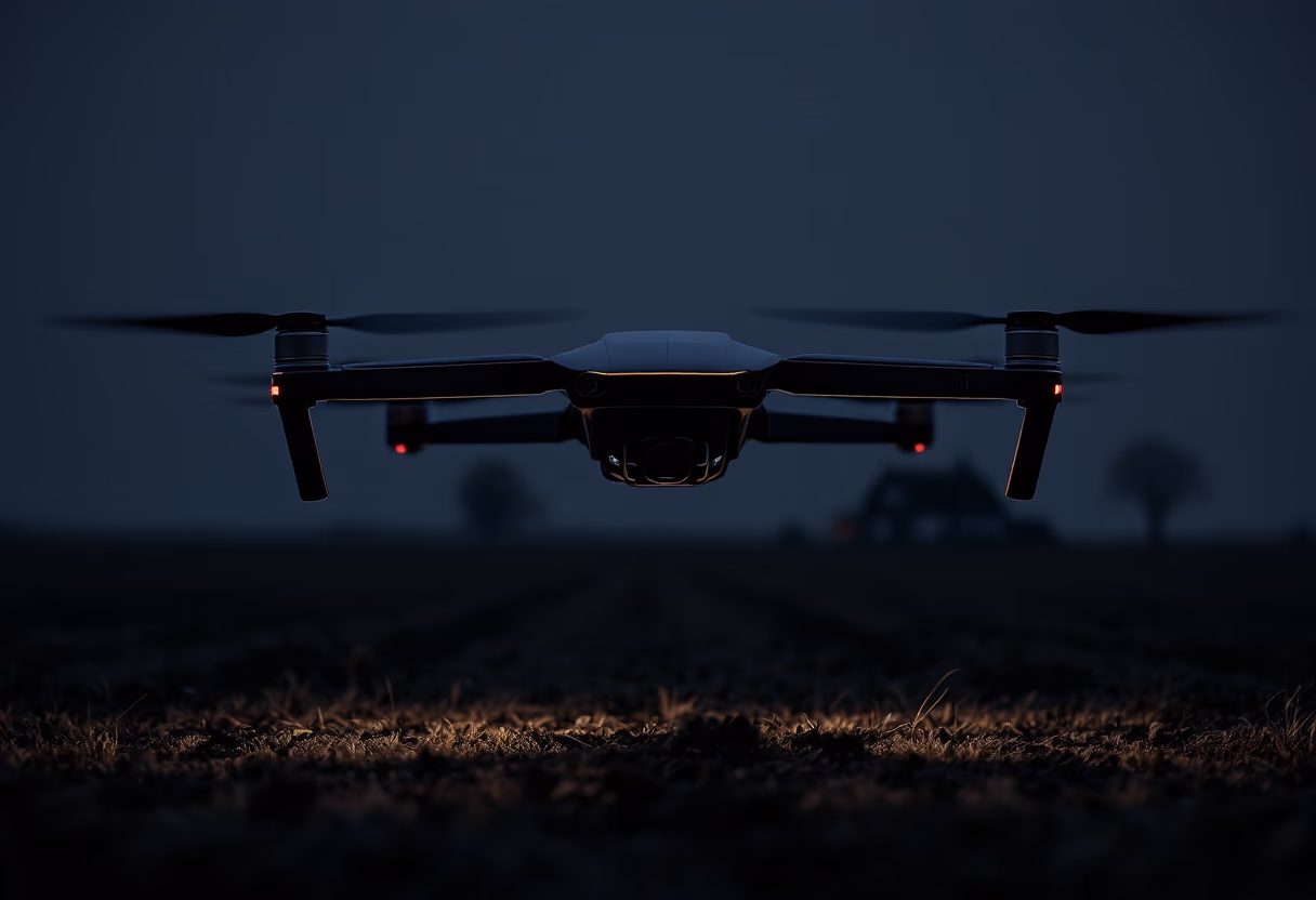
Mobilize drones fast for urgent site assessments.
Showcase properties with sharp, professional imagery.
Project gallery

What our clients say
![[headshot] image of customer (for a general contractor)](https://cdn.prod.website-files.com/6a3d5bbd72322e1da05e79a4/6a4283c47cb244d81d3334ac_a538e802-3f73-4bf6-81b8-f9c3d691b5fc.avif)
"Accurate aerial updates keep us on track."
![[team] image of individual team member (for a green tech/cleantech company)](https://cdn.prod.website-files.com/6a3d5bbd72322e1da05e79a4/6a4283c47cb244d81d33349f_db90a7cb-1107-486c-95e5-cb0dff253e3b.avif)
![[headshot] image of customer (for a data analytics and business intelligence)](https://cdn.prod.website-files.com/6a3d5bbd72322e1da05e79a4/6a4283c47cb244d81d3334da_84ca4b43-6b12-4453-9375-2d72a8254431.avif)
![<subject>[headshot] image of a customer (for a mobility and transportation)</subject>](https://cdn.prod.website-files.com/6a3d5bbd72322e1da05e79a4/6a4283c47cb244d81d3334af_6a127cba-6bcc-4346-8370-f56ee15ed984.avif)
![[headshot] image of customer (for a mexican restaurant)](https://cdn.prod.website-files.com/6a3d5bbd72322e1da05e79a4/6a4283c47cb244d81d3334a4_41ba1061-fc79-4bc0-bf89-1bafb6b7fec6.avif)
![<subject>[headshot] image of a customer (for a mobility and transportation)</subject>](https://cdn.prod.website-files.com/6a3d5bbd72322e1da05e79a4/6a4283c47cb244d81d3334b5_0e6efdce-4cd2-4435-8881-9e3213d9378e.avif)

![[headshot] image of customer (for a maritime service)](https://cdn.prod.website-files.com/6a3d5bbd72322e1da05e79a4/6a4283c47cb244d81d3334e0_a47bb3f9-d6bf-490b-b3ab-3e0f86f03b99.avif)